No Hurricane Name. Still a Flood Warning for Fernandina.
Police reported two flooded street blocks closed Sunday afternoon. NWS warns the next high tides can bring more coastal flooding through early Wednesday.
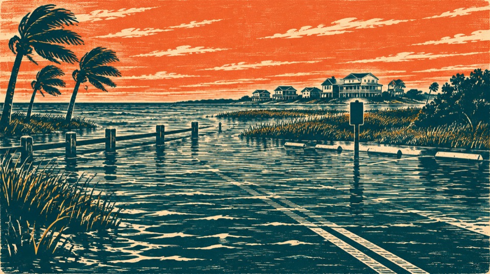
The National Weather Service warning issued October 25 covers Coastal Nassau through 5 a.m. Wednesday, October 28. Flooding is forecast around high tides. Street conditions can change faster than this article; check the Fernandina Beach Police Department’s updates and do not pass barricades.
Fernandina has already seen a practical consequence. In a 3:15 p.m. Sunday update, city police said the 700 blocks of Dade and Calhoun streets remained closed. Front Street between Centre and Alachua had reopened, but police warned it could close again with the evening tide. That is a dated status report, not a promise those streets are open or closed now.
The Coastal Nassau flood warning calls for significant coastal flooding around high tide. NWS says numerous roads may close and low-lying property, including some homes, businesses and critical infrastructure, could be inundated. The warning covers a broad coastal zone; it does not identify every street or predict that every building will flood.
The high tides on the clock
NOAA’s Fernandina Beach station 8720030 predictions put the next high tide at 8:56 p.m. Sunday. Monday’s are 9:21 a.m. and 9:43 p.m.; Tuesday’s are 10:10 a.m. and 10:33 p.m. All times are Eastern daylight time. The morning highs overlap work and school travel.
Those are astronomical tide predictions, not a forecast of floodwater depth on a particular road. NOAA lists tide heights against mean lower low water, a chart reference; its 7.67-foot Monday morning and 7.78-foot Tuesday morning predictions do not mean streets will be under that many feet of water. Wind and weather can lift actual water above the predicted tide or change the timing of impacts.
NWS Jacksonville says strong onshore northeast wind is combining with high astronomical tides around the full moon. The same October 25 hazard message also calls for 8-to-10-foot breaking surf and a high rip-current risk through late Tuesday night on Northeast Florida beaches. Those surf conditions are a separate beach hazard; they are not a measurement of flooding on downtown streets.
What to do before the next tide
- If your vehicle or property is in a known low spot, move or protect it while access is safe.
- Follow current police road notices and barricades. NWS says not to drive through water of unknown depth.
- Stay out of dangerous surf and check the live NWS Coastal Nassau alerts before beach plans or travel.
After the water recedes, there is a public-accountability question: which streets are covered by funded drainage or waterfront protection work, and when will those projects be finished? The city says its 2026 stormwater master plan lists projects and costs. We have not established that any one project would have prevented Sunday’s closures.
Sources
- National Weather Service Jacksonville, Coastal Flood Warning for Coastal Nassau, issued October 25, 2026, 3:47 a.m. EDT; live alert list checked October 25.
- NOAA CO-OPS, Fernandina Beach station 8720030 high/low tide predictions, queried October 25, 2026; local time, mean lower low water datum.
- Fernandina Beach Police Department road-closure update, posted October 25, 2026, 3:15 p.m.; checked October 25.
- NWS Jacksonville forecast office, coastal hazard explanation, checked October 25, 2026.
- City of Fernandina Beach, Stormwater and 2026 master-plan links, checked October 25, 2026.
Forecasts and road status can change. This report does not assert that a particular home will flood. The question about project priorities is Amelia Undertow’s analysis. Factual claims are linked above; send corrections through our corrections page.