Amelia’s Beaches Face High Rip-Current Risk Through Sunday
A new NWS bulletin puts Coastal Nassau under a high rip-current risk through Sunday evening, with a coastal flood advisory through early Sunday.
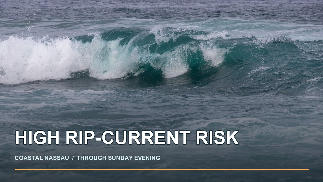
The National Weather Service’s October 30 coastal hazard message includes Coastal Nassau and says the high rip-current risk remains in effect through Sunday evening, November 1. NWS advises inexperienced swimmers to stay out of the water and everyone at the beach to heed lifeguards and flags. Conditions and alert times can change; check the live bulletin before going.
The same 2:22 p.m. NWS bulletin puts Coastal Nassau under a high surf advisory until midnight Friday, with breaking waves of 4 to 6 feet, and a coastal flood advisory until 5 a.m. Sunday for minor coastal flooding. Those are three different hazards: dangerous currents in the water, heavy surf at the shoreline and possible flooding around high tides. The bulletin does not say a specific Fernandina street is closed now or that any particular beach was damaged.
Why this matters this weekend
NWS warns that rip currents can pull even capable swimmers away from shore into deeper water. Its October 30 regional briefing also says the high risk will persist at area beaches through the weekend. This warning applies to the Coastal Nassau forecast zone, which includes Amelia Island; it is not a measurement from one particular beach access.
For residents near low-lying roads or waterfront property, the coastal flood advisory anticipates flooding of lots, parks and roads, with isolated road closures possible. NWS advises drivers to allow extra time and never drive around barricades or through water of unknown depth. The advisory describes a forecast, not a confirmed closure or damage report.
What to do at the beach
- Check beach flags and ask a lifeguard about conditions at your access point. NWS says inexperienced swimmers should remain out of the water while the surf is dangerous.
- If caught in a rip current, NWS says to relax and float, avoid swimming against it, move parallel to shore if able, and signal for help if you cannot escape.
- Before travel near a known flood-prone spot, check current local road notices. A warning from earlier in the week is not current road status.
Amelia Undertow’s earlier flood report documents street closures reported by Fernandina Beach police on October 25. Those closures were a dated police report and should not be assumed to remain in force today.
Sources
- National Weather Service Jacksonville coastal hazard message, issued October 30, 2026, 2:22 p.m. EDT; Coastal Nassau high surf advisory, coastal flood advisory and high rip-current risk.
- National Weather Service Jacksonville coastal and marine hazards briefing, issued October 30, 2026, 2:44 p.m. EDT.
- Magda Ehlers surf photograph on Pexels; Pexels license. The image is illustrative and does not document local conditions.
This report describes a forecast and official safety advice, not a confirmed rescue, injury or property loss. Forecasts change; use the linked NWS message for current times and send corrections through our corrections page.